
OVERVIEW
|
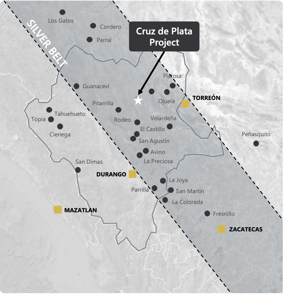
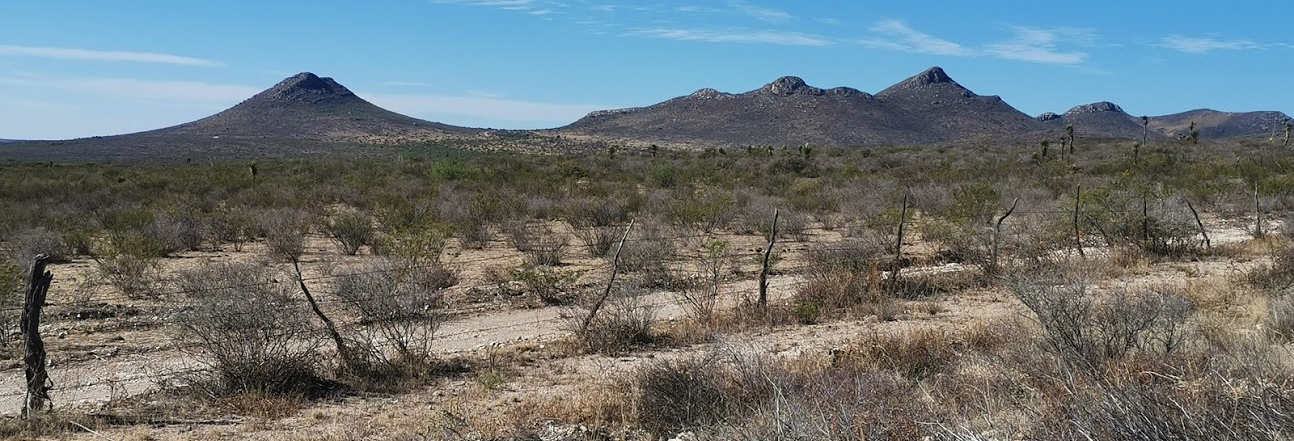
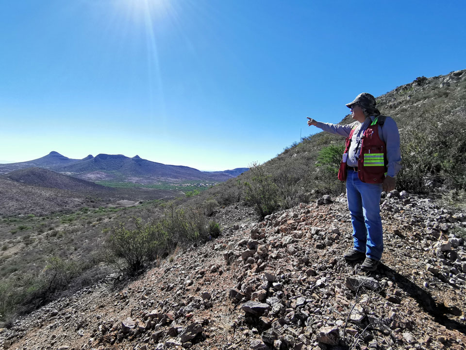
The Cruz de Plata Project includes an oxide gold prospect (referred to as El Capitan) and two historic silver mines (Jesus Maria and San Rafael) located in the historic Peñoles Mining District of Durango, Mexico. the Cruz de Plata Project is host to multiple mineralized vein systems, fault zone structures, poly-metallic skarns, and silicified low-temperature gold-rich volcaniclastics. Approximately 86 diamond drill holes totalling more than 11,550 metres have now been completed at the Project. Drilling to date on the Peñoles property has defined wide intervals of near-surface gold mineralization (with low silver values) at El Capitan that could potentially be amenable to open-pit extraction methods and significant intervals of near-surface silver mineralization (with associated gold, lead and zinc values) at Jesus Maria zone.
EXPLORATION HISTORY
According to published historic records, Minera Industrias Peñoles was incorporated in 1887 to operate the Jesus Maria and San Rafael silver mines and took its name from the local community of Peñoles. The full extent of the historic mine workings is unknown, but mining appears to have been selective and limited to within approximately 100 metres from the surface. The only modern exploration work that was completed on the property prior to 2011 consisted of a four-hole drill program completed by Aurcana Corporation (“Aurcana”) in 2004, and surface mapping, sampling, a limited IP survey, and a five-hole drill program completed by Riverside in 2008 and 2009. The drill holes completed by Aurcana and Riverside returned encouraging results and showed that El Capitan had potential to host a bulk-tonnage, low-grade gold deposit. Preliminary metallurgical tests completed by Sierra Madre in 2011 using Riverside drill core indicated that the gold mineralization at El Capitan could likely be recovered using cyanide leaching. Since March 2011, exploration work and drilling funded by Riverside’s partner has primarily focused on the El Capitan Gold Zone and the Jesus Maria Silver Zone.
PREVIOUS WORK: EXPLORATION RESULTS
The Cruz de Plata Project has an established (305k oz Au at 0.46 g/t & 15M oz Ag at 62 g/t Ag) inferred resource (see NI 43-101 report below), which remains open in multiple directions and at depth. Previous work includes drilling, underground sampling and trenching at the El Capitan gold zone and the historic Jesus Maria silver mine discovered high-grade Ag.
Capitan Hill Historic Drill Results
Capitan Hill Historic Drill Results
- CDDH-11-03: 57 g/t Au over 107.35m
- CDDH-11-14: 69 g/t Au over 37.15m
- CDDH-11-16: 55 g/t Au over 80.12m
| Hole_ID | From_m | To_m | Interval_m | Au (g/t) |
|---|---|---|---|---|
| CDDH-11-03 | 18.95 | 126.3 | 107.35 | 0.57 |
| CDDH-11-14 | 77.7 | 114.85 | 37.15 | 0.69 |
| CDDH-11-16 | 23.88 | 104 | 80.12 | 0.55 |
- Drillhole Intervals are calculated using a 0.1g/t Au cut-off, with no more than 3m of interval dilution
- Reported intervals drill width’s only. True widths are approximately 70-90% of the reported interval
GEOLOGY
The Cruz de Plata Project lies in the Altiplano Sub province of the Sierra Madre Occidental (SMO). The SMO is a regionally extensive Eocene to Miocene volcanic field that extends from the US-Mexican border into Central Mexico. The Altiplano sub province is on the eastern flank of the SMO and comprises Jurassic to late Tertiary sedimentary and volcanic rocks (Sedlock et al., 1993). This district hosts extensive hydrothermal-related silver, gold and base-metal deposits and is generally referred to as the Faja de Plata, or Mexican Silver Belt.
The El Capitan deposit, the Jesus Maria deposit, and the San Rafael-El Tubo prospects of the Cruz de Plata Project are located on the concessions owned by Riverside and they appear to be related to intersections between the northwest-striking and northeast-striking regional structures. These occurrences are also localized along the southern margins of a northeast-oriented magnetic anomaly identified from government airborne surveys.
RESOURCE
QUALIFIED PERSON, QA/QC & TECHNICAL DISCLOSURES
The scientific and technical data contained in this news release pertaining to the Cruz de Plata Project was reviewed and approved by Marc Idziszek, P.Geo, a non-independent qualified person to Capitan Silver, who is responsible for ensuring that the technical information provided in this news release is accurate and who acts as a “qualified person” under National Instrument 43-101 Standards of Disclosure for Mineral Projects.
Capitan Silver Inc. has a Quality Assurance/Quality Control program that includes insertion and verification of control samples including standard reference material, blanks and duplicates consistent with industry standards.
GALLERY
 |
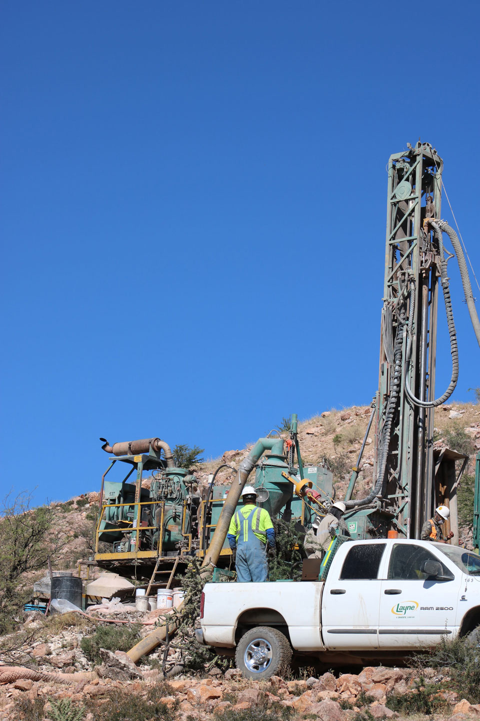 |
Drilling the Capitan Hill Gold Zone at the Cruz de Plata Project